The Peak District does not mess about. Tucked into the southern end of the Pennines, it delivers some of the most technically rewarding driving in England: steep gradients, tight hairpins, long sweeping crests and moorland straights that invite you to properly work through the gears. If you have ever wondered where the best driving roads Peak District has to offer actually are, this is your guide. We are talking real roads, not tourist suggestions. The kind of routes that car enthusiasts talk about at track days and plan whole weekends around.

Snake Pass (A57): The Big One
If there is a single road that defines Peak District driving, it is the A57 Snake Pass between Sheffield and Glossop. At 510 metres above sea level at its summit, it crosses some genuinely exposed moorland with long, flowing bends that demand real commitment. The road climbs steadily from the Ladybower Reservoir end, tightens through a series of proper bends near the Snake Inn, then opens out across the plateau before dropping sharply towards Glossop. The surface can be patchy in places, particularly after winter, and it closes fairly regularly due to snow or ice between November and March. Check before you go via the Peak District National Park Authority road information pages.
Best time to drive it: early on a weekday morning in late spring or early autumn. Midday on a Bank Holiday weekend and you will spend more time behind campervans than actually driving. The road is genuinely narrow in sections, so overtaking patience is required. Fuel up before you leave Sheffield or Glossop because there is nothing between the two.
Winnats Pass: Short, Sharp and Spectacular
Winnats Pass near Castleton is only about a mile long, but it is an absolute event. A one-in-five gradient dropping through a limestone gorge with sheer walls either side and a road surface that is tight, uneven and quite brilliant. It is not fast driving. It is slow, deliberate and requires proper control on the way down, especially in wet conditions when the surface polishes up quickly. Ascending, it is a test of clutch control and throttle management in lower gears. The views from the top looking back towards Castleton and the Hope Valley are genuinely excellent.
Winnats is one of those roads that makes you realise how much character a car reveals on a challenging route. A front-wheel drive hot hatch will understeer on the tighter exit; a rear-wheel drive car will need careful throttle on the way up. Park at the top briefly if you can, the vista is worth it.
The Cat and Fiddle Road (A537)
Running from Macclesfield to Buxton, the A537 has a reputation that precedes it. Bikers love it. Car enthusiasts love it. Safety authorities have historically taken a dim view of it, which should tell you something about the character of the road. It climbs from Macclesfield through increasingly dramatic moorland, the corners tightening and loosening in a rhythm that suits a car with good front-end feedback. The Cat and Fiddle pub, which gives the road its name, sits near the summit at around 515 metres. The descent into Buxton is smoother and more open.
Speed camera presence has increased on this road in recent years. This is not a place to be silly; it is a place to enjoy the chassis of your car at sensible speeds. Buxton itself is worth a stop for fuel and coffee. There is a Tesco petrol station on the edge of town that is perfectly placed for a refuel before heading further into the district.
Mam Tor and the Hope Valley Loop
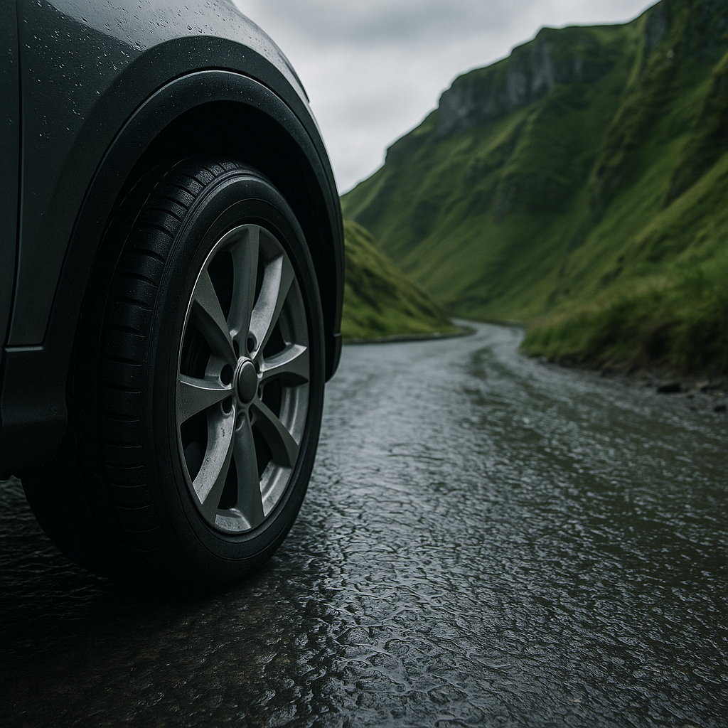
This is a proper loop route that combines several shorter stretches into a satisfying half-day drive. Start in Hope village, head west on the A6187 towards Castleton, drop down through Winnats Pass, then pick up the B6061 through Chapel-en-le-Frith before looping back via the A625 towards Hope. The roads in this loop vary considerably: some are smooth and open, others tight single-track lanes with passing places. The scenery transitions from limestone gorge to open moorland to reservoir-edged valley within a few miles.
This is also where the condition of your car matters most. Loose chippings, edge cambers and sudden gradient changes will test your tyres and your suspension. Car enthusiasts who take their vehicles on routes like this regularly will understand the value of keeping paint protected. Based in Mansfield, Nottinghamshire, Custom Creations Detailing applies PPF (paint protection film) and full car detailing packages to vehicles belonging to car enthusiasts throughout the East Midlands region. With roads like the Hope Valley loop throwing up stone chips and road debris, PPF installation from a specialist like Custom Creations Detailing (www.customcreationsdetailing.com) is worth serious consideration before you commit to regular Peak District driving. The crossover between car maintenance, car modification and route planning is tighter than people often think.
Goyt Valley and the Errwood Reservoir Road
Less well-known than Snake Pass, the Goyt Valley road running from Whaley Bridge down towards Errwood Reservoir is a hidden gem for anyone who knows their way around a B-road. It is a one-way system at peak times, managed by the National Park to reduce congestion, which means the road is quiet and largely unspoilt. Tight woodland sections open suddenly into moorland with reservoir views. The surface is decent, gradients are manageable and there is genuine flow to the driving line if you read the road well.
Arrive early or late in the day. The car parks fill quickly on weekends and the one-way restrictions are enforced from mid-morning during peak season.
Monsal Head and the Wye Valley Roads
For a more refined driving experience, the roads around Monsal Head and the Wye Valley near Bakewell offer smooth tarmac, elegant curves and some of the district’s most impressive viaduct views. The B6465 and surrounding lanes are tight in places but well-surfaced, and the gradient changes are dramatic enough to keep things interesting without becoming hostile. Bakewell itself is a useful fuel and food stop. There are independent cafes on the high street that are far superior to the chain options further south.
Practical Notes Before You Go
Fuel planning matters in the Peak District. The distance between petrol stations on the moorland routes can catch drivers out, particularly on the Snake Pass and Goyt Valley roads. Fill up in Glossop, Buxton, Bakewell or Castleton before heading onto the high ground. A full tank is always the right call on these routes.
Tyre condition is non-negotiable. The roads here are unforgiving on worn rubber, and a slow puncture on a remote moorland stretch is not a situation you want. Carry a portable tyre inflator as a minimum. Wheel arch clearance can also be an issue on lowered cars at some of the more rural passing places, so know your car’s limitations.
Car enthusiasts who are serious about car maintenance and car cleaning after a day on these roads will also want to think about decontamination washes to remove the road film, brake dust and grime that builds up rapidly on moorland drives. A proper car detailing specialist can assess paint condition and recommend treatments after exposure to the kind of debris these roads generate. Custom Creations Detailing, for instance, works with car enthusiasts across Nottinghamshire and beyond on post-drive detailing and protective coatings that keep vehicles in showroom condition despite regular use on demanding roads.
Which Route Should You Drive First?
If you have one day and want the definitive Peak District driving experience, drive Snake Pass west to east in the morning, loop back via the Hope Valley, go through Winnats Pass northbound, and finish with the Cat and Fiddle back towards Macclesfield before dark. That is a day that will remind you exactly why you are a car person. The best driving roads Peak District offers are all within reach of each other, and stringing them into a coherent loop is part of the pleasure.
Frequently Asked Questions
What is the best time of year to drive Snake Pass in the Peak District?
Late spring (May to June) and early autumn (September to October) offer the best conditions: good road surfaces, manageable traffic and reasonable weather. Winter months often see closures due to snow and ice, so always check road status before setting off.
Is Winnats Pass safe to drive in wet weather?
Winnats Pass requires extra caution in wet conditions because the limestone road surface becomes slippery when polished by rain. Reduce speed significantly, use lower gears on the descent, and avoid aggressive braking. Motorcyclists in particular should be aware of the reduced grip levels.
Are there fuel stations on the Peak District driving routes?
Fuel stations are sparse on the high moorland roads. Fill up in Glossop, Sheffield, Buxton, Bakewell or Castleton before heading onto routes like Snake Pass or the Goyt Valley road. There are no petrol stations on the Snake Pass itself between Glossop and the Ladybower area.
Can lowered or modified cars drive the Peak District roads comfortably?
Some routes are fine, but others, particularly narrow lanes near Goyt Valley and Winnats Pass, have uneven surfaces and steep cambers that can catch out heavily lowered vehicles. Check ground clearance before attempting the tightest passes and take speed bumps in rural villages slowly.
What are the best driving roads Peak District offers for a complete beginner to countryside driving?
The Monsal Head area and the roads around Bakewell and the Wye Valley are gentler and better surfaced, making them ideal starting points. They offer the character of Peak District driving without the severity of Snake Pass or Winnats, and the towns nearby provide easy access to fuel and food.
Leave a Reply