There are driving routes in Britain that look good on a map, and then there are routes that actually deliver. The North Yorkshire driving route combining the moors with the coastal stretch from Whitby down to Scarborough sits firmly in the second category. Sweeping moorland, tight coastal descents, proper British seaside towns and roads that reward a driver who knows what they’re doing. This is a weekend worth planning properly.
This guide is built for drivers. Not sightseers who happen to have a car, but people who care about road feel, gradient changes, overtaking opportunities and the satisfaction of a well-executed B-road corner. Let’s get into it.
Planning Your North Yorkshire Driving Route: The Basics
The route covered here runs roughly 75 miles in total, starting at Helmsley in the south-west of the North York Moors National Park, crossing the high moorland via the A169 and B1257 corridors, dropping into Whitby on the coast, then south along the A171 and coastal roads to Scarborough. Done properly, without rushing, this fills a full Saturday comfortably. Most drivers will want two days to get genuine value from it.
Road quality across this route varies considerably. The A169 Whitby to Pickering road is generally in good nick and well-maintained by North Yorkshire Council, but some of the moorland B-roads carry frost damage from winter months, particularly around Rosedale Abbey and the Farndale valley if you choose to deviate. Ground clearance of at least 150mm is advisable if you plan any of the single-track diversions. Standard saloon cars handle the main route without issue.
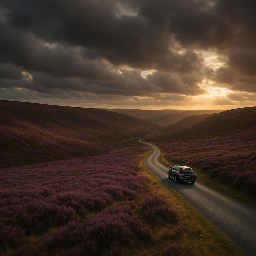
Helmsley to the Moors: The Opening Act
Start at Helmsley. Fill up here. There is a petrol station on the A170 on the eastern edge of town and it will be your last reliable opportunity before Whitby, around 30 miles of moorland away. Fuel economy matters on this stretch; the gradient changes on the moors will push a naturally aspirated engine harder than motorway cruising, so be realistic about your range. Running low on fuel on the North Yorkshire moors in October is not a romantic experience.
Head north-east out of Helmsley on the B1257, which takes you through Bilsdale. This is where the driving starts to get genuinely interesting. The road climbs steadily through the valley before opening up onto the high moor above. The surface is reasonable, width is adequate for two cars to pass comfortably on most sections, and there are long visibility stretches that allow confident progress. Keep your speed measured though; the road is popular with cyclists, particularly on summer weekends.
The B1257 eventually connects with the A169 near Saltersgate. At this point you have a choice: drop directly south-east down the A169 towards Pickering, or continue north towards Whitby. We go north. The A169 north of the junction is a genuinely rewarding moorland road with long crests and views that extend for miles on a clear day. Visibility is everything up here; mist rolls in quickly and dramatically, so check the Met Office forecast before you set off.
Dropping into Whitby: The Road Quality Reality
The descent into Whitby on the A169 is one of those moments that properly rewards a driver. The gradient is steep enough to demand active braking management, the views over the town and harbour open up suddenly, and the road tightens near the bottom. It is not a difficult road, but it is one that demands your attention. If you are driving something with a manual gearbox, this is a section worth dropping a gear for engine braking. Automatic drivers, check your transmission has a sport or manual mode and use it.
Whitby itself warrants a stop of at least an hour. Park at the West Cliff car park, which accommodates most vehicles including estates and 4x4s, and is managed by Scarborough Borough Council. The town is tight on road width through the centre, so avoid driving through the old streets near the harbour if you value your wing mirrors. Walking distance from the car park to the abbey ruins and the fish quay is entirely manageable.
Before you leave, make use of the Whitby BP station on the A171 heading south. It is a reliable stop and your last major facility before the coastal section begins.
Whitby to Scarborough: The Coastal Stretch
The A171 south from Whitby towards Robin Hood’s Bay is the official route, but the real payoff comes if you leave the A-road and take the lane down into Robin Hood’s Bay village itself. Fair warning: this road is narrow, steep and has a gradient that will have your brakes working properly. It is also one-way traffic at the bottom during summer weekends and is managed by a passing system. Worth it for the view, but know what you’re getting into before you commit a seven-seat SUV to it.
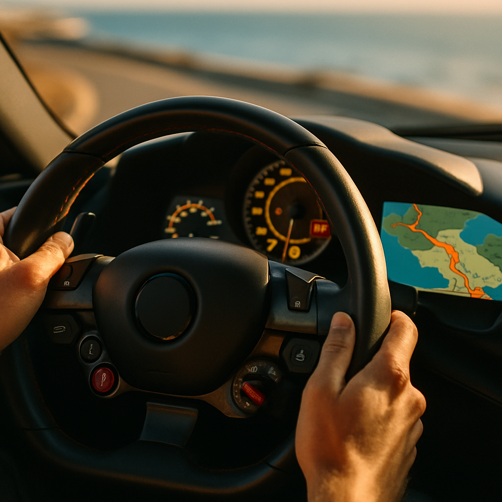
Back on the A171, the road south delivers consistent coastal views on clear days, and the surface quality is among the best on the entire route. It has been resurfaced on several sections in recent years. The road through to Cloughton and then the northern outskirts of Scarborough is smooth, fast and genuinely enjoyable. This is the section where your car’s infotainment setup earns its keep. If you have android auto integrated into your head unit, the live traffic overlay will be genuinely useful here during peak summer weekends when the A171 can back up approaching Scarborough.
Scarborough itself is the natural end point. Park at the Castle Road car park or the Eastborough multi-storey, both of which handle full-size vehicles without drama. The town offers a proper end-of-drive reward: the seafront, the castle headland, decent food and a pint if you have a designated non-driver sorted.
Overnight Stop Suggestions
For a two-day run, Whitby is the obvious overnight base. The town has a solid range of accommodation and parking is manageable at most B&Bs and hotels if you ring ahead to confirm. The Crag House Farm area just south of Whitby also has farm stays that suit drivers who prefer getting out of town. Pickering, slightly south of the main route, is an underrated option too: quieter, easier to park, and well-positioned for a second-day loop back across the moors via the Dalby Forest drive road, which is maintained by Forestry England and worth investigating separately.
Key Practical Notes for Drivers
A few things worth flagging before you go. The North York Moors has mobile signal blackspots across significant sections, particularly on the high moor. Download offline maps before you leave. The national park speed limits are 60mph on open A-roads and 40mph on most moorland B-roads; speed awareness cameras operate on the A169, so comply with the limit rather than test your luck. Sheep on the road are not metaphorical; they absolutely do wander onto the carriageway, particularly around Goathland and the Saltersgate area.
If you are running a vehicle with lower ride height or wider-than-standard track, the single-track moorland lanes are avoidable with minor rerouting. The main A-road spine of this North Yorkshire driving route is entirely suitable for standard road cars, sports saloons and most performance vehicles. Ground clearance is only a concern on deliberate detours.
Check tyre pressures before you set off. Varied road surfaces, long descents and high-speed moorland sections all contribute to tyre load changes over the day. The Maxxdirectory tyre pressure guide covers the specifics of checking and adjusting for different driving conditions if you need a refresher. This is a route worth doing right.
Frequently Asked Questions
How long does the North Yorkshire moors and coast driving route take?
The full route from Helmsley to Scarborough covers approximately 75 miles and takes around 3 to 4 hours of driving time if done without major stops. Add sightseeing time in Whitby and Robin Hood’s Bay and a full day is realistic; most drivers spread it across two days to get proper value from the roads.
What is the road quality like on the North York Moors for driving?
The main A-roads including the A169 and A171 are in good condition and regularly maintained by North Yorkshire Council. Some B-roads and moorland lanes carry surface damage from winter frost, particularly on single-track diversions. Standard road cars handle the main route without any issues.
Where are the petrol stations on the North Yorkshire moors route?
Fuel options are limited on the moors themselves. Fill up in Helmsley before heading north-east, and there is a BP station on the A171 leaving Whitby southbound. Do not rely on finding fuel on the open moorland between these points, particularly if your range is under 150 miles.
Is the road into Robin Hood's Bay suitable for all cars?
The lane descending into Robin Hood’s Bay village is steep, narrow and can be one-way managed at the bottom during busy periods. It is passable in standard cars but requires caution. Wide or long vehicles should park on the main road above and walk down, as turning space at the bottom is very limited.
What is the best time of year to drive the North Yorkshire coast route?
Late spring and early autumn offer the best combination of good road conditions, manageable traffic and decent weather. Summer weekends bring heavy tourist traffic particularly around Whitby and Scarborough, which can slow the coastal section significantly. Winter driving on the high moor is possible but mist and ice require care and proper preparation.
Leave a Reply